Ngā Pūrākau Mahere
Map StoriesNgā Pūrākau Mahere
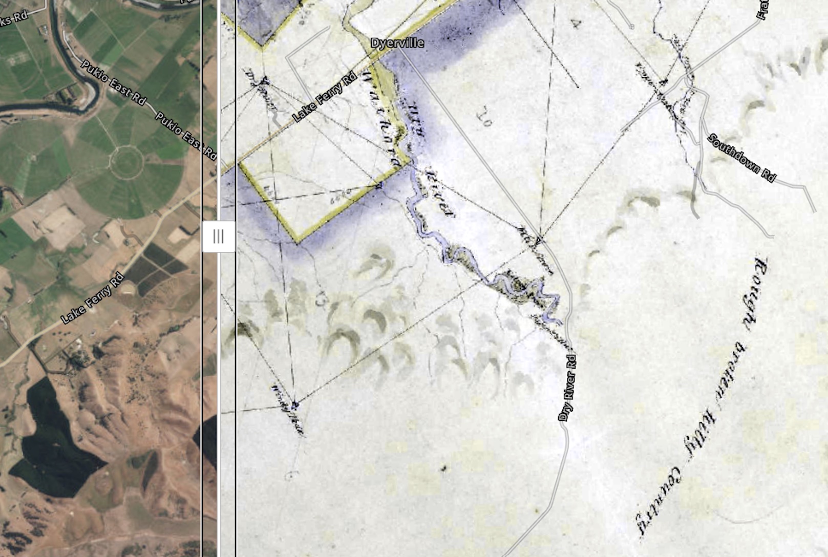
The stories of the Wairarapa wetlands can be told in many ways. Here, we share maps offering an insight into these complex environments, revealing their spatial distribution, extent, and characteristics. By integrating scientific data with mātauranga Māori, we can better understand these wetlands and the role they play in the Wairarapa.
Changing Extent of Wetlands:
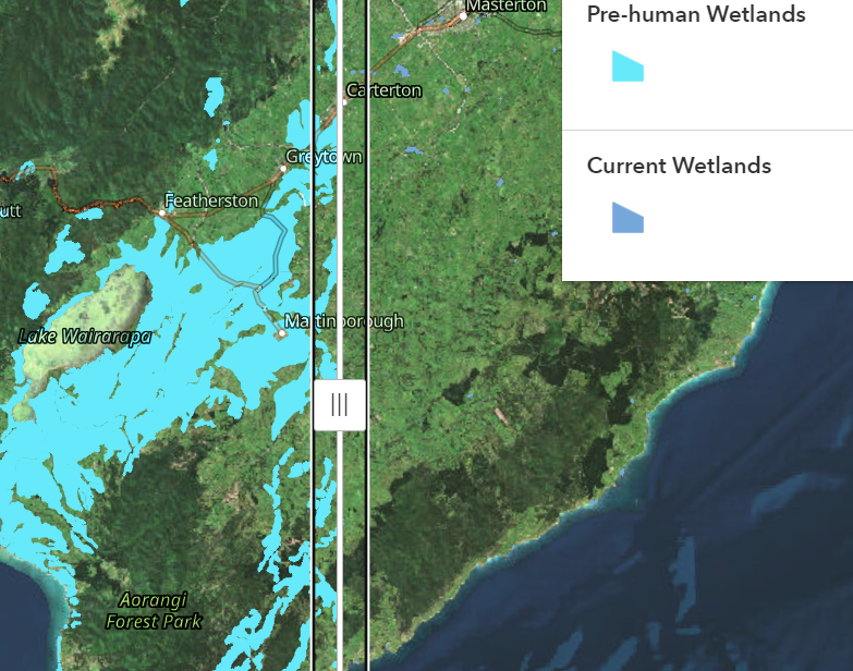
Pre-human vs Current Wetlands
The two maps on this page show the current extent or coverage of repo in the Wairarapa and the estimated historical extent before human settlement based on modelling information about the soil to guess where wetland plants likely grew, and where the water-covered patches were located


