Ngā Pūrākau Mahere

Map Stories

Ngā Pūrākau Mahere

The stories of the Wairarapa wetlands can be told in many ways. Here, we share maps offering an insight into these complex environments, revealing their spatial distribution, extent, and characteristics. By integrating scientific data with mātauranga Māori, we can better understand these wetlands and the role they play in the Wairarapa. 

Changing Extent of Wetlands:

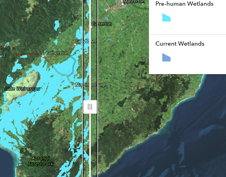
Pre-human vs Current Wetlands

The two maps on this page show the current extent or coverage of repo in the Wairarapa and the estimated historical extent before human settlement based on modelling information about the soil to guess where wetland plants likely grew, and where the water-covered patches were located
Historic Maps

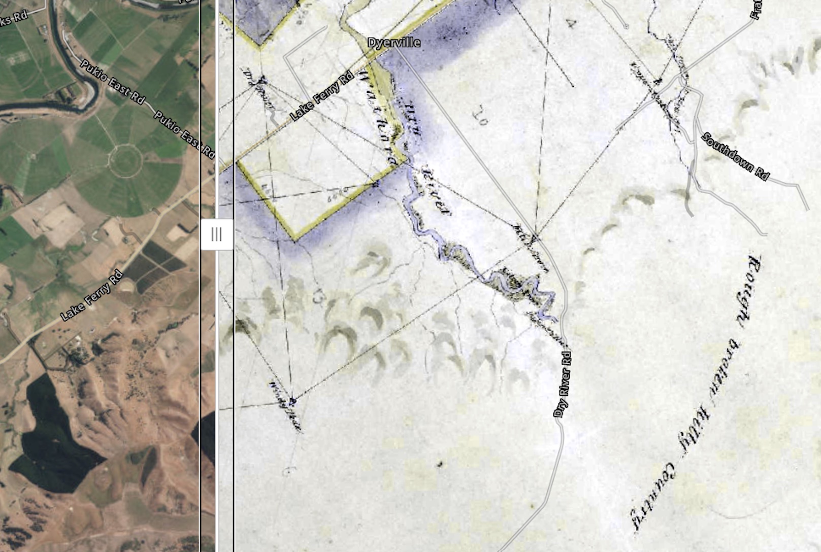
The three maps on this page provide insight into place names and locations from a time before large-scale displacement of Māori

Whakarongo ki te repo

Feeling the life rhythm of wetlands

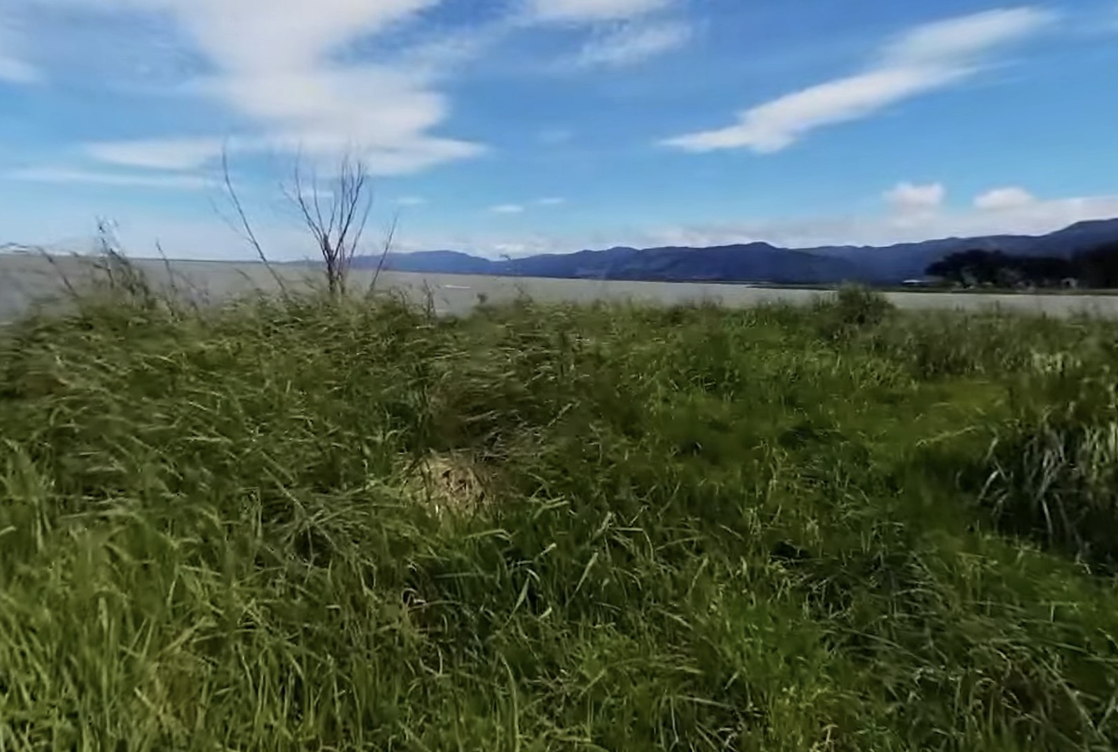
Use the maps on this page to visit with repo (wetlands) in the Wairarapa and hear their waiata (songs) and kōrero (stories) and find out more about the importance of these wetlands 

Frequently Asked Questions

Glossary

Education Resources

Website Survey


Ngāti Kahungunu ki Wairarapa and researchers at Te Herenga Waka – Victoria University of Wellington would like to monitor the impacts of the resources on this site, including their usefulness. We invite you to participate in a 10-minute questionnaire about this website and the taonga provided.

Your contribution is important and will help us improve the website and develop future resources as well as contribute to research about connections with the Wairarapa.

Take our Survey

This will close in 20 seconds